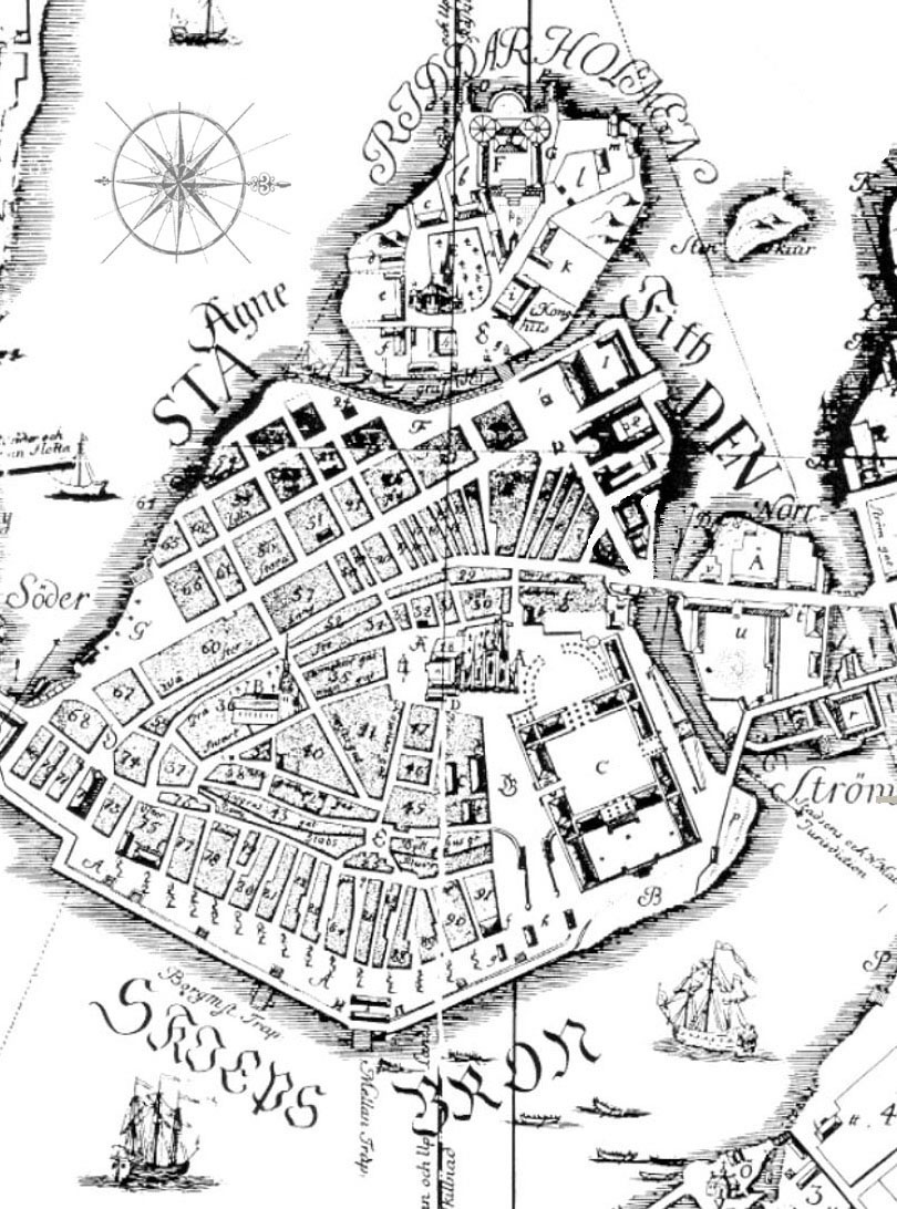
Stockholm, Sweden/stock100-1733 enlarged map of stockholm.jpg
Previous | Home | NextThis is an expanded view of the Gamla Stan-Riddarholmen area taken from the 1733 map. This map will help one's orientation when viewing painting panoramas, drawings, and birds-eye views which follow for Helgeandsholmen, Riddarholmen, and the Mynttorget area of Gamla Stan. See next view for map with labels. North is to the right.
